Friday, August 30, 2013

Mexico City - Day 8 - Coyoacan

Back to Southern part of the D.F., we took the Metro down to Viveros station to start an exploration of Coyoacan.  Taking the Viveros stop rather than the Coyoacan stop allowed us to explore one of Mexico's national parks.  This tree nursery, founded in the early 20th century by Miguel Angel de Quevedo, a successful businessman who had seen the effects of industrialization and development on the health of the Valley of Mexico, was established to provide trees for Mexico City to mitigate the extensive deforestation that was occurring.  Among other problems, the loss of trees in the Valley of Mexico was causing erosion and flooding, and the Viveros now provides millions of seedlings for projects around Mexico City.


In addition to providing trees for the city, as a public park it provides a welcome green space for exercise and relaxation.

Additionally, the central rotunda of the park hosts a matador training program.  They don't use bulls for these sessions,  instead working on some cape skills.


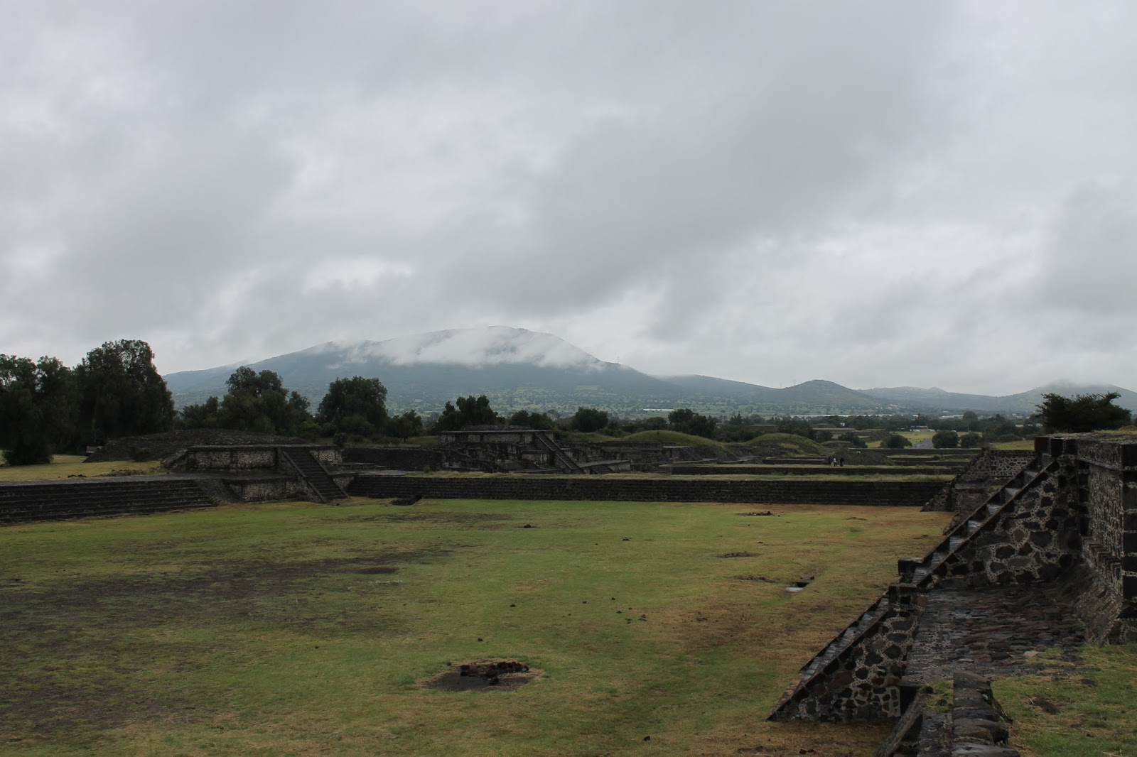
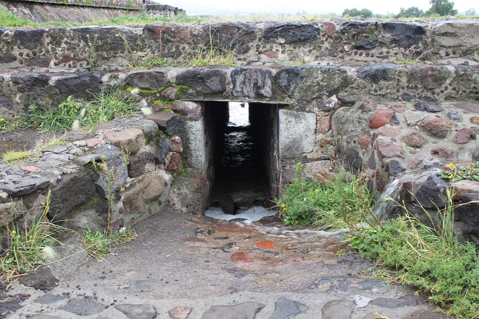
Adjacent to the park is a section of the Rio Magdalena.  This is the last open river remaining in Mexico City, and while it is plagued by pollution, combined sewer outfalls and an abundance of trash, Quevedo's gift stipulated that the river remain un-piped at least in the section running through the Viveros.


A plan from Mexico City to improve the Rio Magdalena including the section adjacent to the Viveros (in Spanish) here

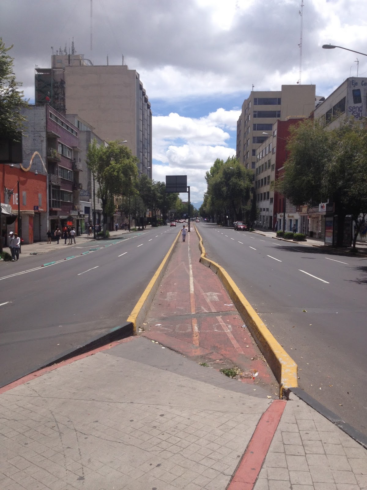
The flow of the Rio Magdalena continues into the "Rio" Churubusco, which forms the northern border of Coyoacan, and was one of the many rivers of Mexico City that was piped and covered with highway during the mid 20th century.


Images of the piping process and conversion to highways here

Article on proposals from Taller 13 to regenerate one of these rivers as public space in the city here

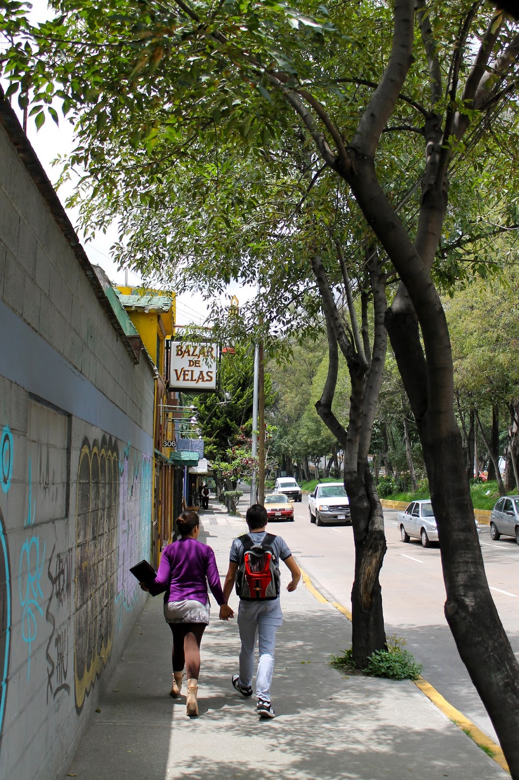
Also on today's visit to Coyoacan was a walk through historic Coyoacan and the Frida Kahlo house and museum.  Located a few blocks from Rio Churubusco, the house, like much of Coyoacan reflects a scale and speed of life very different from contemporary Mexico City.  Also of note are the beautiful scuppers on the house, pottery turned to direct rainfall away from the building and into the central courtyard.


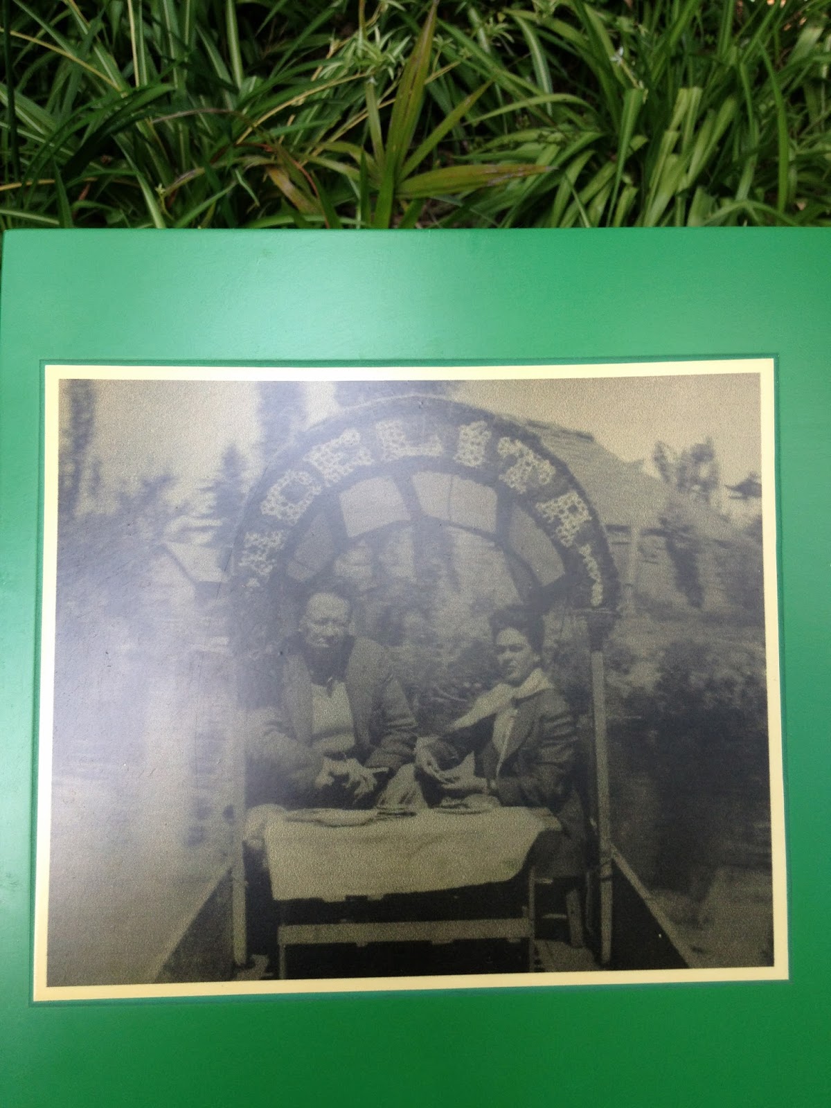
Also, on one of the kiosks in the museum, a photo of Frida Kahlo and Diego Rivera enjoying a trajinera ride, perhaps in Xochimilco, or perhaps closer to their home on one of the now extinct waterways.

Wednesday, August 28, 2013

Mexico City - Day 7 - Rest day


Amazing aerial photographs of the expanding metropolis of Mexico City


Mexico City - Day 6 part 2 - Anthropology Mueseum

Designed in 1963 by Pedro Ramirez Vazquez, Jorge Campuzano and Rafael Mijares, the National Museum of Anthropology houses an extensive collection on Mexican heritage and culture.  The museum has and indoor-outdoor circulation pattern focused on a central courtyard.  The main focus of the courtyard is the giant, el paraguas.  The umbrella structure covers half of the courtyard and collects rainwater, that showers down and through pavers in the courtyard floor.  It also acts as a fountain during drier seasons.  Despite some menacing clouds, we did not get to see it in action, unfortunately.  


Museo Nacional de Antropologia - central courtyard

El Paraguas - Museo Nacional de Antropologia

Pavers at the base of el Paraguas - Museo Nacional de Antropologia

Sculptural scuppers also bring rainwater into the courtyard.  There was some leftover drips from the previous day's rainfall. 


Courtyard pool at the Museo Nacional de Antropologia


Mexico City - Day 6 part 1 - Chapultepec Park and Aqueduct


Up the hill in Chapultepec's 2nd section, the Carcamo and the Jardin del agua opened as a museum only recently.  The structure, a pumping station, dates to the early 1950's as a pumping station for the water supply coming in from the Rio Lerma.  The building was designed to direct water from the incoming supply to different reservoirs to serve the city, and it is laden with artwork by Diego Rivera.  It operated from the 1950's to the 1990's when it was replaced by underground pipes.  By the time the pumping station was decommissioned in the 1990's most of the mosaics and sculpture had been severely damaged by the water flowing through the site.  

El Carcamo with Tlaloc fountain - Chapultepec Park

The symbolic entrance of water from the Lerma River is marked by a fountain sculpture of the rain god, Tlaloc.   


Inside the temple-like structure is the main carcamo chamber which is covered in Diego Rivera murals depicting workers, agriculture and of course, water.  The main supply is then split into 4 possible outfalls marked by 4 opening mechanisms inside and outside the building.  


 Behind the building are the 4 jardins del agua (water gardens), surrounded by fountains that once took water from the carcamo.  Now, they exist in various states, as either open fields, densely culitvated gardens or a place for a pick up soccer match.


 Further back in the history of Mexico City's water supply, the springs of Chapultepec were the main supply to Tenochtitlan, the Aztec city and continued to serve the city until replaced by sources from the Lerma River which comes from outside the valley.


The causeway seen in the lower part of the painting contained the Aztec aqueduct from Chapultepec.  The aqueduct was replaced in the colonial period.  Now, all that remains is a stretch of arches on Av. Chapultepec with fountains on either end signifying the former use.


a view of the aqueduct from 1902 showing the road and canal beside it.


 At the Southwest corner of El Centro, sits the Salta del Agua, a reproduction of the original fountain that marked the end of the Chapultepec aqueduct.


Today, the fountain remains, but most of the aqueduct is gone.  Following the path of the aqueduct, however, is a bike path.  Oddly, I never saw any bikes on this route, possibly because it is in the middle of a major road.


Across from the Salta del Agua is a chapel built for those collecting water from the fountain to give thanks.  Like many of the older buildings in El Centro, it is also sinking.


Monday, August 26, 2013

Mexico City - Day 5 - Teotihuacan

This ancient city (pre-Hispanic and even pre-Aztec) sits about 30km northeast of Mexico City.  The bus ride from Mexico City takes about an hour.  Organized around two major axes, the North-South  Avenue of the Dead, and the East-West Rio San Juan (which was diverted to cross the city at this point).  The major temples (Pyramids of the Sun and Moon) are on a flat portion of the North-South axis with the Pyramid of the Moon anchoring the North end.  After moving past the temple complexes, the Avenue of the Dead slopes down gradually in series of terraces to where it meets the Rio San Juan.  The opposite side of Rio San Juan houses the ruined temple of the feathered serpent as well as many of the residential areas of the city.


We arrived in light rain shortly after the park opened.  With the weather and the early hour we had the place to ourselves for a while.  After climbing the steps of the enormous Pyramid of the Sun, the city's major temple, we took some time to explore some of details.


The Pyramid of the Sun as seen from the Avenue of the Dead (the city's main North South axis).  Dave is in the lower left hand corner of the image for scale.


Masonry work at the corner of the lowest platform of the Sun Pyramid with the Pyramid of the Moon and the Avenue of the Dead in the background.  Most likely a restoration work, the angled masonry pieces move water quickly off of the platform as it comes down the side of the pyramid. 


The Avenue of the Dead also contained a sophisticated drainage system.  The massive amounts of stone and other impervious surfaces undoubtedly created a lot of runoff.  While rain was light while we were visiting, sustained afternoon thunderstorms have been rolling through the Valley of Mexico creating an intense deluge.  


The terraces act to collect and slow the movement of water as it runs off buildings and patios toward the Rio San Juan and prevent runoff from washing out everything in its path.  The main walkways of the Avenue are raised above this level allowing for continuous use.  Drain tunnels connect the terraces and allow water to eventually move out.  


The terrace dividers also bring in buried pipes adding runoff from buildings to the side of the Avenue.


The system at work during the morning's light rain.


Mexico City - Day 4 - El Centro and Polanco

Protests which have been occupying Mexico City's major public square, the Zocalo, have been keeping tourists at bay, but today, Dave and I ventured into El Centro.  Keeping mostly to the side streets and only brushing by the protests in the Zocalo, we saw the mix of buildings from colonial to contemporary that make up this central neighborhood.  With foundations on the soft soils of the drained lake bed, heavier buildings have been sinking since their construction.  Some, like el Palacio de Bellas Artes, have accepted this fact in their relationship to the street and maximized the landscape potential in that zone.

Others make do with limited space like this museum on Calle de Tacuba connecting the building entrances to the sidewalk corners which are several feet higher:


And inconsistent settling leaves others to bend like this building on Calle Adalco:


Before heading up to Polanco to meet up with my former classmate, David Dana, we strolled through the Alameda Central behind the Palacio de Bellas Artes and around its numerous, busy fountains.


The leafy neighborhood of Polanco, northwest of El Centro, has a walkability and comfortable density not found in much of the city.  Tree lined avenues and gracious public parks give a sharp contrast to the narrow streets and bustle of El Centro.