Wednesday, September 25, 2013

Myanmar (Burma) - Day 1

After a rainy layover in Bangkok, Dave and I took off for Mandalay, Myanmar's major city in the North of the country.


From above, it looks like villages lining river valleys with some small plots farmed in the upper hills.

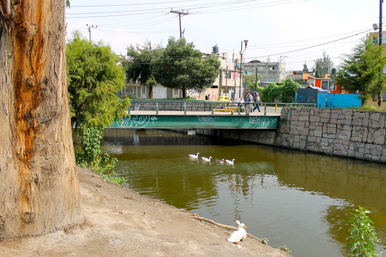
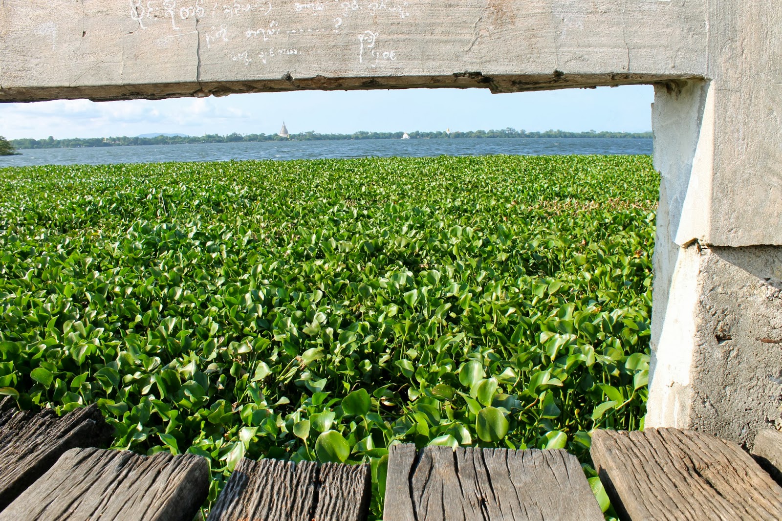
After getting settled, at our hotel near the banks of the Ayeyarwaddy (Irrawaddy) River, we took off of motorbike taxis to see the U-Bein bridge, located just South of Mandalay.  Constructed out of reused teak from a palace when the capital moved to Mandalay in the 19th century, the bridge connects two sides of a large lake.  Like most highly visited sites in the country, it has a religious purpose, connecting temples on either side of the lake, but it is also a place for fishing, recreation and socializing.  The lake level is highly variable, and was near its peak, as we arrived at the tail end of the rainy season.  In the drier months, the bridge deck towers above the much lower lake, and vegetable growing operations thrive in the shallower water, but on our visit, the water level is fairly close, and invasive water hyacinth, like we saw in the canals of Xochimilco, is present here as well.


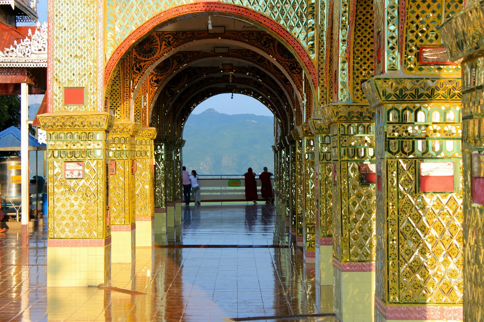
After crossing the bridge, we took off to Mandalay Hill for a sunset view of the city and the river.  Also, a temple site, we enjoyed a barefoot escalator ride for the last portion of the trip to the top. 


 Internet and electricity have been patchy.  More posts to come, but probably not very quickly.


Sunday, September 8, 2013

Mexico City - Day 11 - Canal Nacional


So, it took a while to get this last post from Mexico City up, but finally got to it. 

On our last full day, we explored the remnants of one of the most important canals of Mexico City from the 19th century.  La Viga was once the main transport route for goods and agricultural products from Xochimilco and Chalco to Mexico City.  Markets were formed on the Eastern edge of the city where both la Viga came in and where the terminal for rail lines to Veracruz was built.  The canal has been replaced with a major road of the same name, but the remnants of the la Viga exist as la Canal Nacional, one of the last open waterways in the city that connects Xochimilco and Chalco to the major pipe network that drains Mexico City.   


Just north of Xochimilco, the canal occupies a linear park on the edge of remaining agricultural land that is almost surrounded by the sprawl of the city.  The once wide canal has been dividided into two canals, with different speeds of movement and pumping stations that control the flow as it approaches the urban part of the canal.  


Now well used as a weekend jogging spot, the ruins of previous embarcaderos still line the banks of the now still canal.  Overgrowth has taken over the shallow water, but the steps down into the mud remain.


The canal abrubtly exits the park, and the surrounding change distinctly.  The narrow swath of green surrounding the canal abuts with dense development.


However, hints of the past agrarian life still appear.


Our plans to explore the markets that still occupy the area where the end of the canal was had to unfortunately be cancelled due to ongoing protests, street closures and metro closures.  


Tuesday, September 3, 2013

Mexico City - Day 10 - El Paseo del Rio, Chimalistac and UNAM

Venturing past the Viveros of Coyoacan, today's exploration continued up the Rio Magdalena, or rather where the Magdalena used to run.  The neighborhood of Chimalstac, during the colonial period, was the property of Carmelite friars, and they developed and extensive, irrigated orchard based around the Rio Magdalena.  Since the colonial period, this section of the river has been piped, but the bridges made of volcanic rock that span the old river bed, remain.


The now underground portion of the river is audible through the manhole covers, but not visible.


Further upstream, we reached Avenida de los Insurgentes, and the trail of the river stopped.  Across the avenue was a park that referenced the path of the river and bridges of Chimalistac, but that path ended at another major road and a car dealership.  


After losing the path of the river, we found the enormous Olympic stadium from the 1968 games.  Decorated with a Diego Rivera mural over the entrance, the stadium has since become part of the National Autonomous University of Mexico (UNAM).  


Back under Insurgentes, and we arrived at the main section of the UNAM campus.  The campus' muraled buildings surround generous and well-used lawns.  Incorporated with those lawns are several rain water collection pools that fill when rains come.   


The topography of the campus, which is built on Volcanic rock, gives more flexibility in dealing with rainwater than the flatter parts of Mexico City which are built on the former lake bed.


Open waterways were not present on the campus, but the sounds of buried rivers came up from the manholes.


Mexico City - Day 9 - Universidad Iberoamericana and Santa Fe

After meeting up with my former classmate, David Dana, earlier in the week, I was invited to join his seminar at Universidad Iberoamericana for their presentations on research into different urban types that they had been working on.  It was interesting to see a Mexican perspective on issues such as densification, sustainability, and the processes of development.

A few shots from around the campus located in the Santa Fe neighborhood:


David also invited me to his office in Santa Fe to see what he's been working on since relocating back to Mexico City from San Francisco earlier this year.